
On August 23, 2024, I embarked on a journey to Skjervøy in Troms, Norway, capturing the region’s stunning landscapes through my drone lens. The expedition included notable locations such as Skjervøy, Maursund Gård, Kvænangstindan, and Maurneset, each offering unique vistas that highlight the natural beauty of Northern Norway.
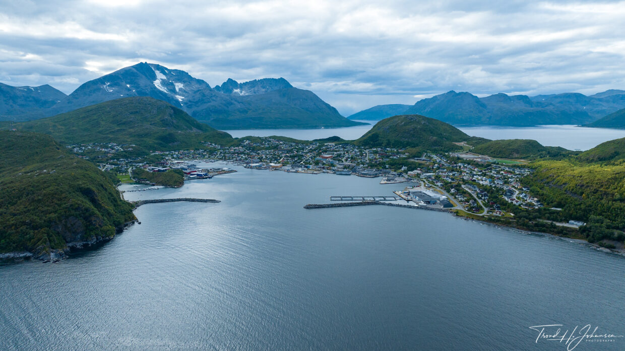
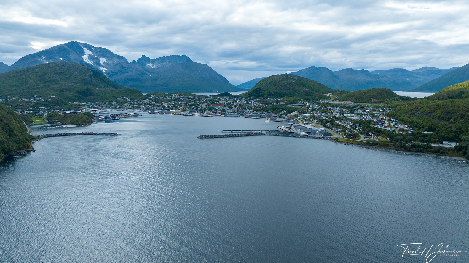
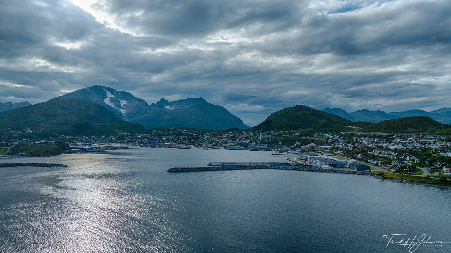
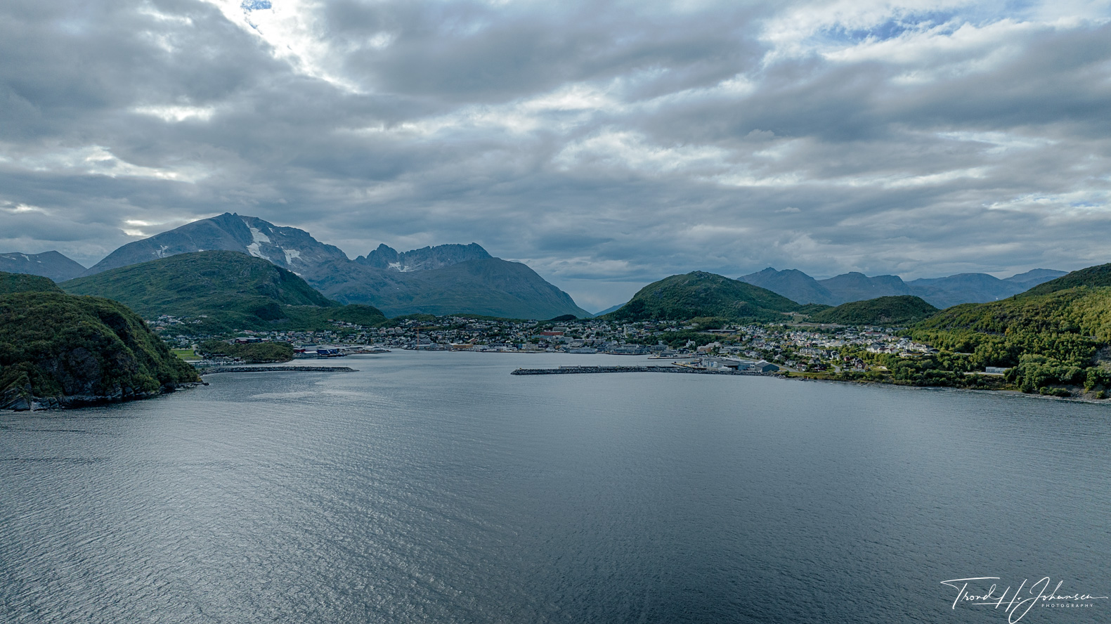
Skjervøy: Positioned at approximately 70° 2.0403′ N, 21° 0.8614′ E, Skjervøy is a picturesque village characterized by its coastal charm and surrounding fjords. The aerial views showcase the harmonious blend of traditional architecture and the expansive Arctic seascape.
Maursund Gård: Located at 69° 55.5591′ N, 20° 51.5402′ E, this historic estate on Kågen Island offers a glimpse into Norway’s rich maritime heritage. From above, the preserved structures and their proximity to the coastline are evident, reflecting the area’s historical significance.
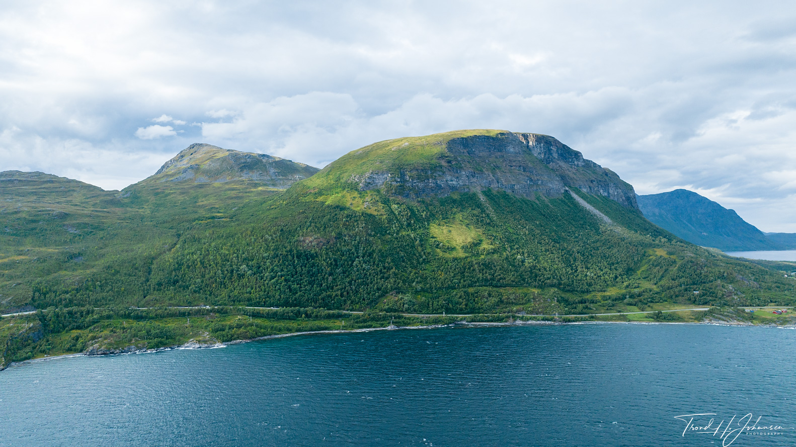
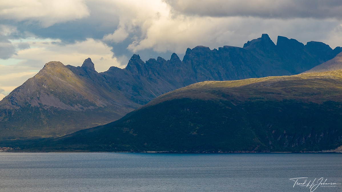
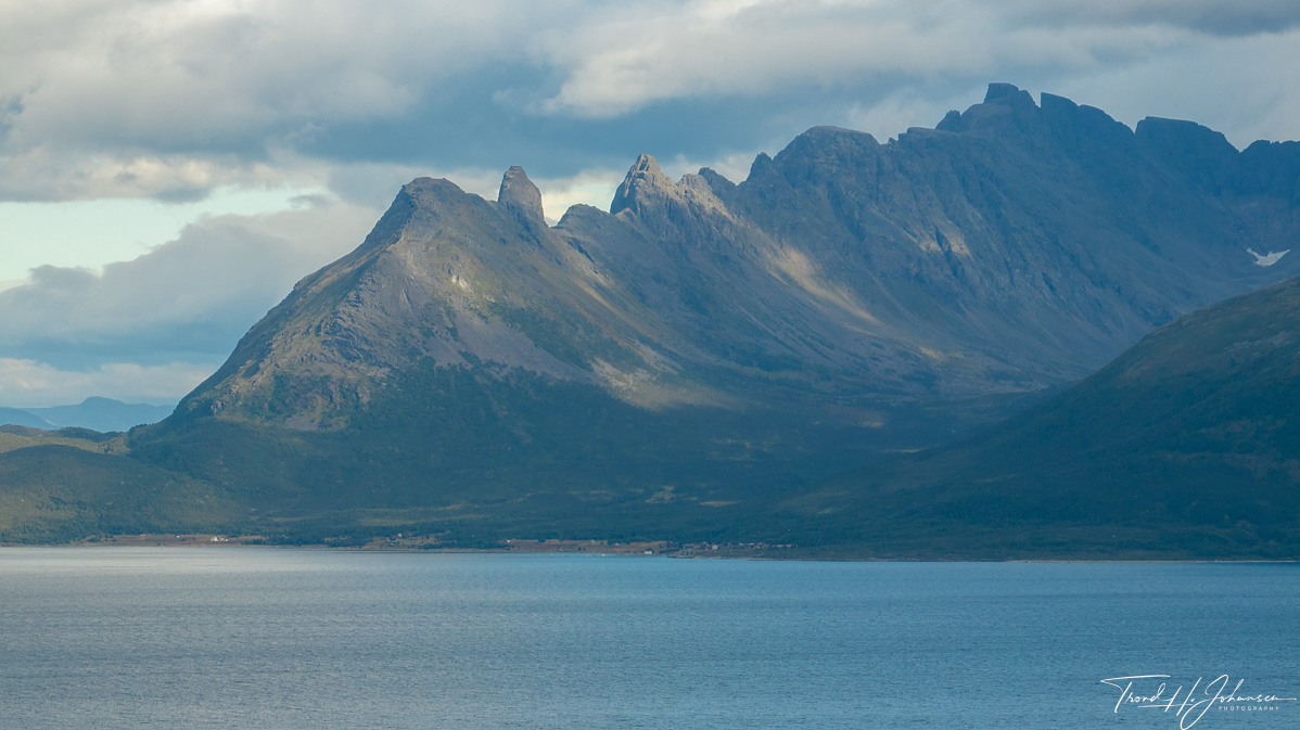
Kvænangstindan: The majestic peaks of Kvænangstindan, viewed from 70° 2.0399′ N, 21° 0.861′ E, dominate the landscape with their rugged formations. Drone imagery captures the intricate details of these mountains, emphasizing their prominence in the region.
Maurneset: At approximately 69° 53.678′ N, 20° 57.4014′ E, Maurneset presents a serene headland along the Reisafjorden. The aerial perspective highlights the tranquil interface between land and water, showcasing the untouched beauty of this locale.
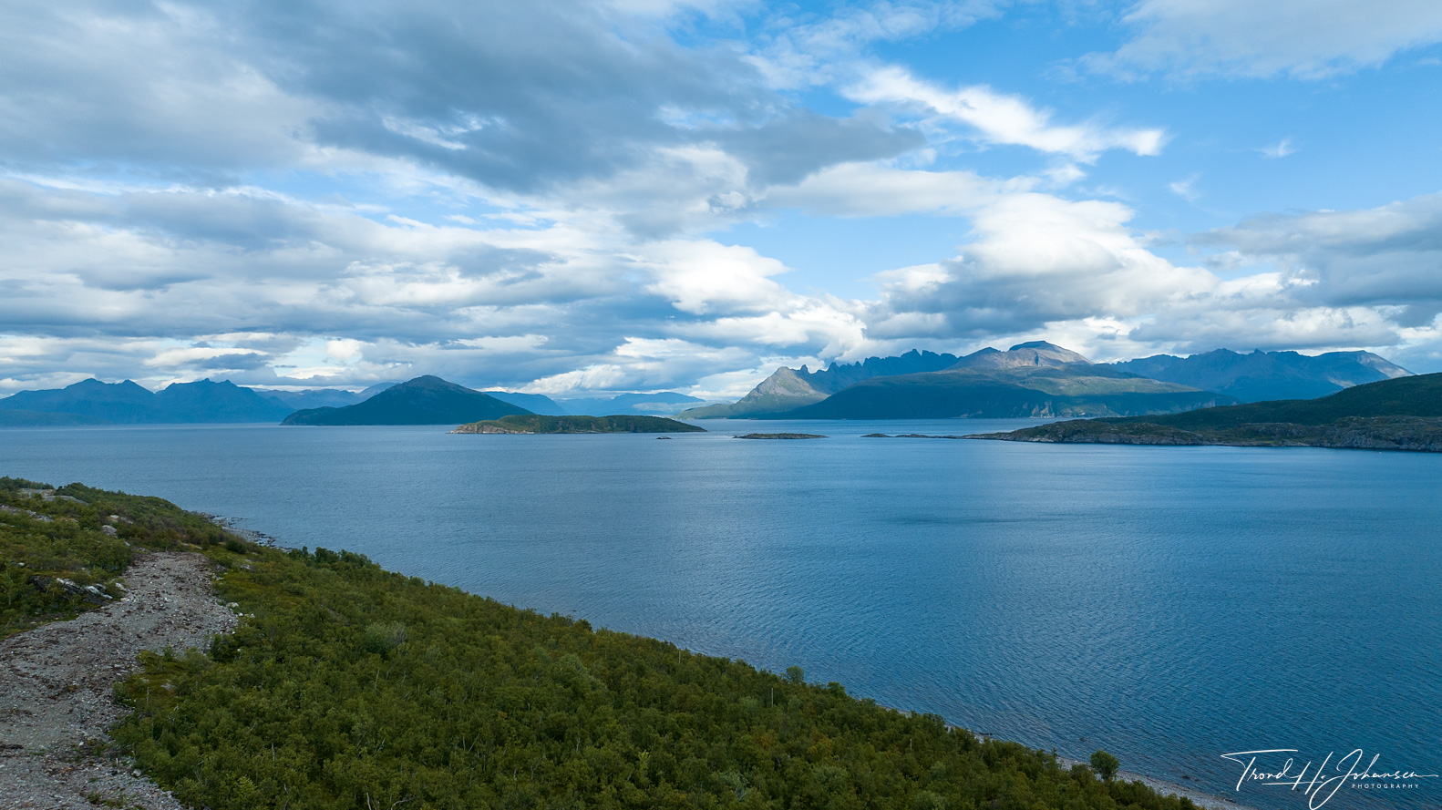
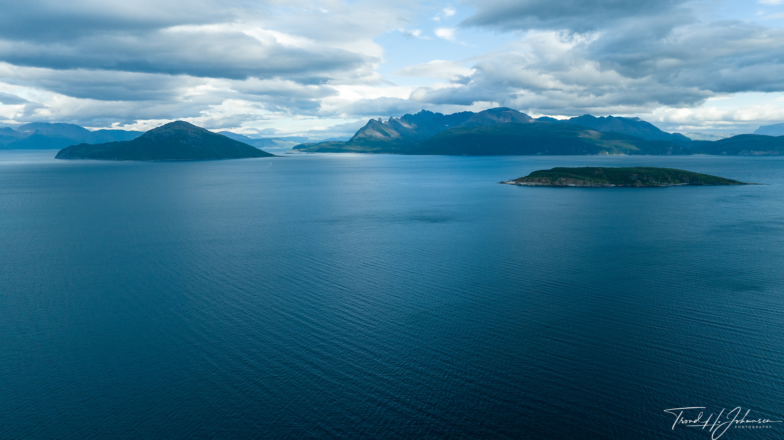
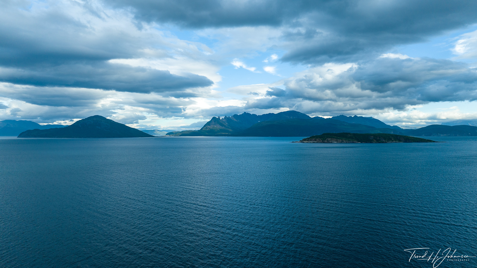
Each of these locations contributes to the diverse tapestry of Northern Norway’s landscapes. Through these drone photographs, I aim to share the captivating essence of the Arctic environment and its myriad features.
Skjervøy – Location: 70° 2.0403′ 0″ N 21° 0.8614′ 0″ E
Skjervøy – Location: 70° 2.0682′ 0″ N 21° 0.4237′ 0″ E
Skjervøy – Location: 70° 2.0414′ 0″ N 21° 1.1268′ 0″ E

Skjervøy – Location: 70° 2.0416′ 0″ N 21° 1.1269′ 0″ E
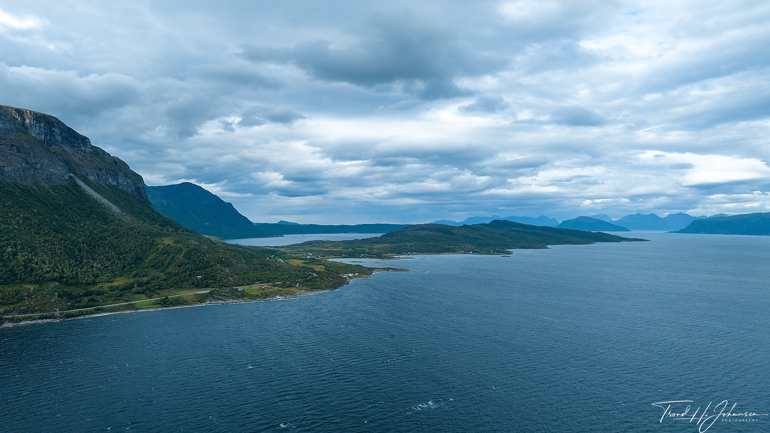
Maurneset – Location: 69° 53.678′ 0″ N 20° 57.4014′ 0″ E
Gjøvarden – Location: 69° 53.6777′ 0″ N 20° 57.4008′ 0″ E
Location: 70° 0.6125′ 0″ N 20° 57.7258′ 0″ E
Location: 70° 2.0418′ 0″ N 21° 1.1268′ 0″ E
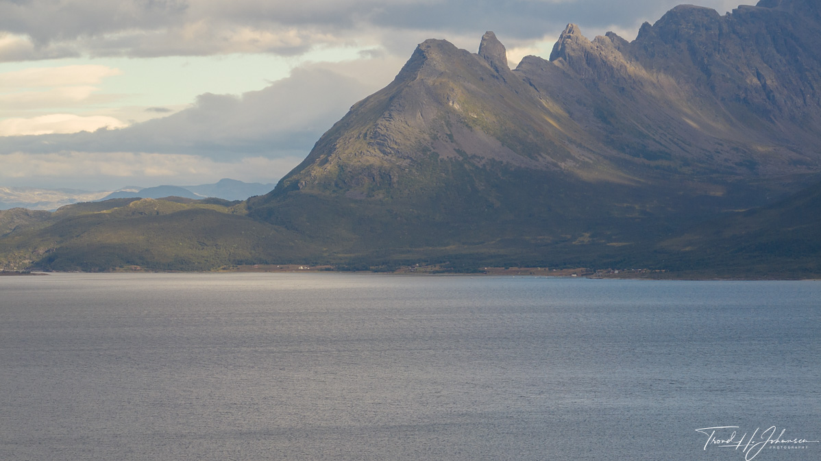
Kvænangstindan – Location: 70° 2.0399′ 0″ N 21° 0.861′ 0″ E
Kvænangstindan – Location: 70° 0.6125′ 0″ N 20° 57.7254′ 0″ E
Kvænangstindan – Location: 70° 2.0398′ 0″ N 21° 0.8609′ 0″ E
Location: 70° 2.0412′ 0″ N 21° 1.1266′ 0″ E
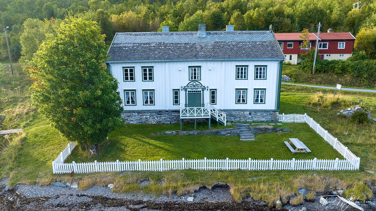
Maursund Gård – Location: 69° 55.5591′ 0″ N 20° 51.5402′ 0″ E
Location: 70° 2.0416′ 0″ N 21° 1.1269′ 0″ E