
Introduction: An Unforgettable Åsfjellet Hiking Drone Photography Experience
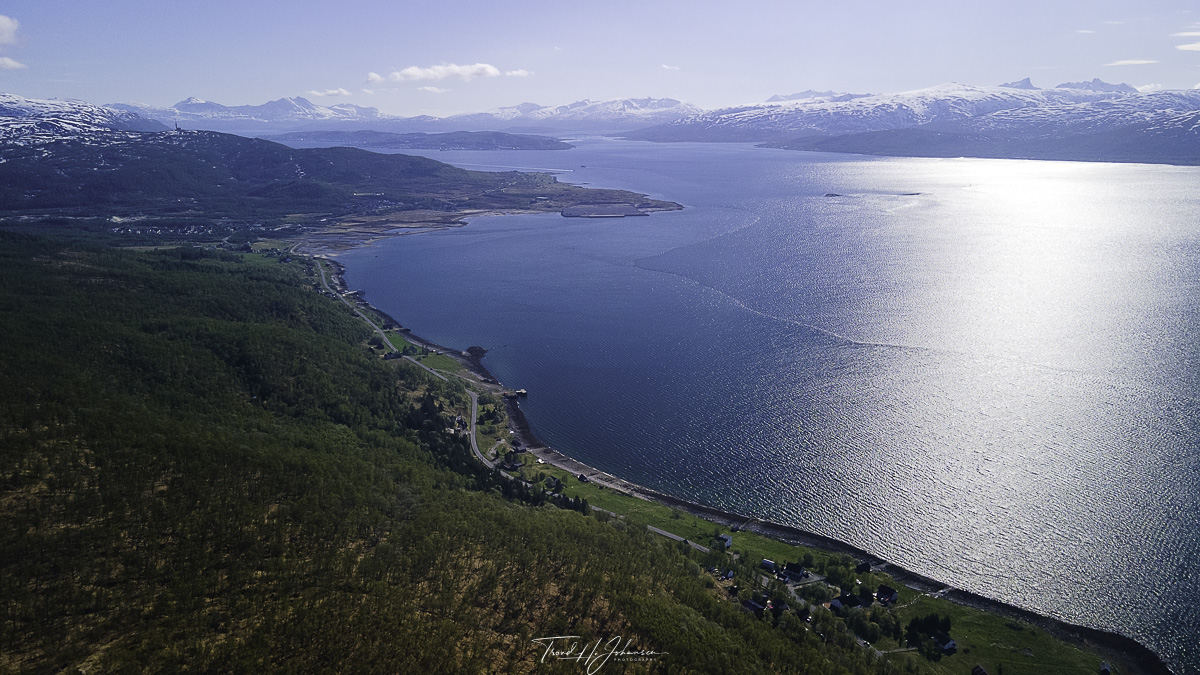
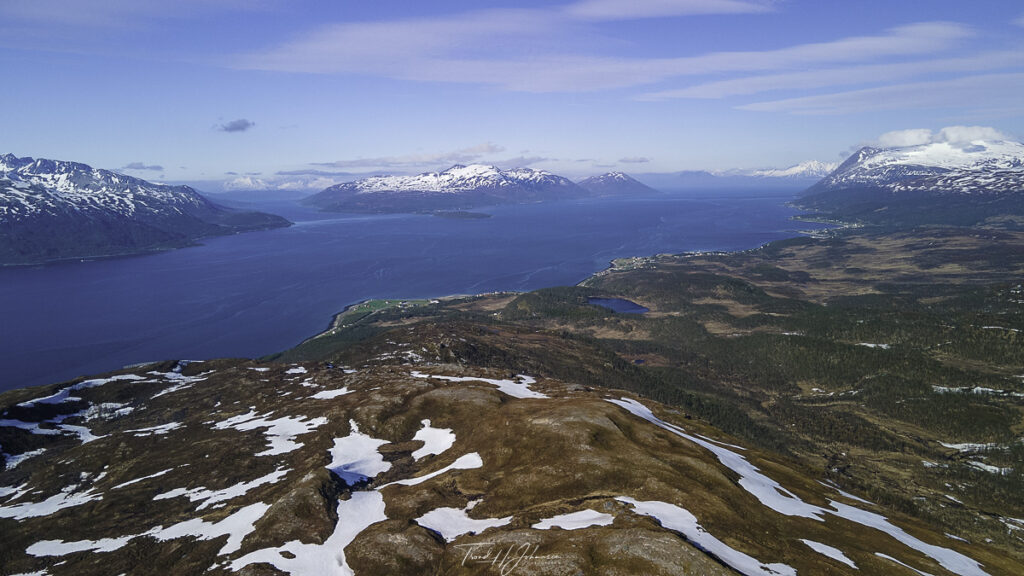
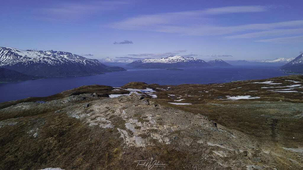
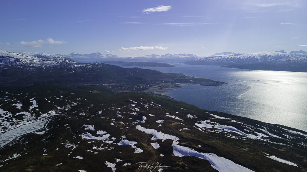
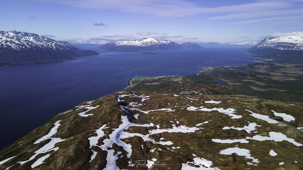
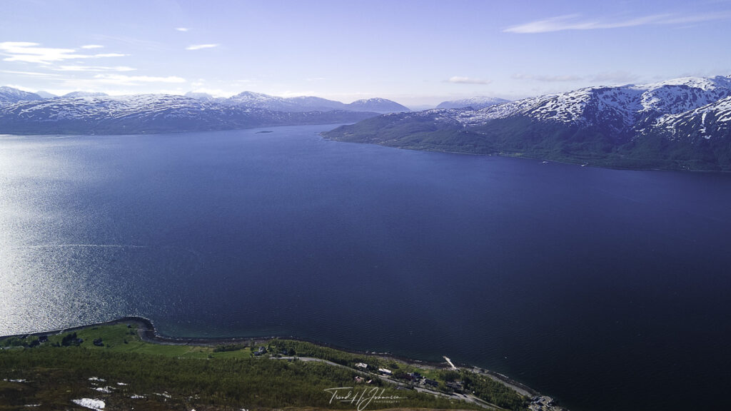
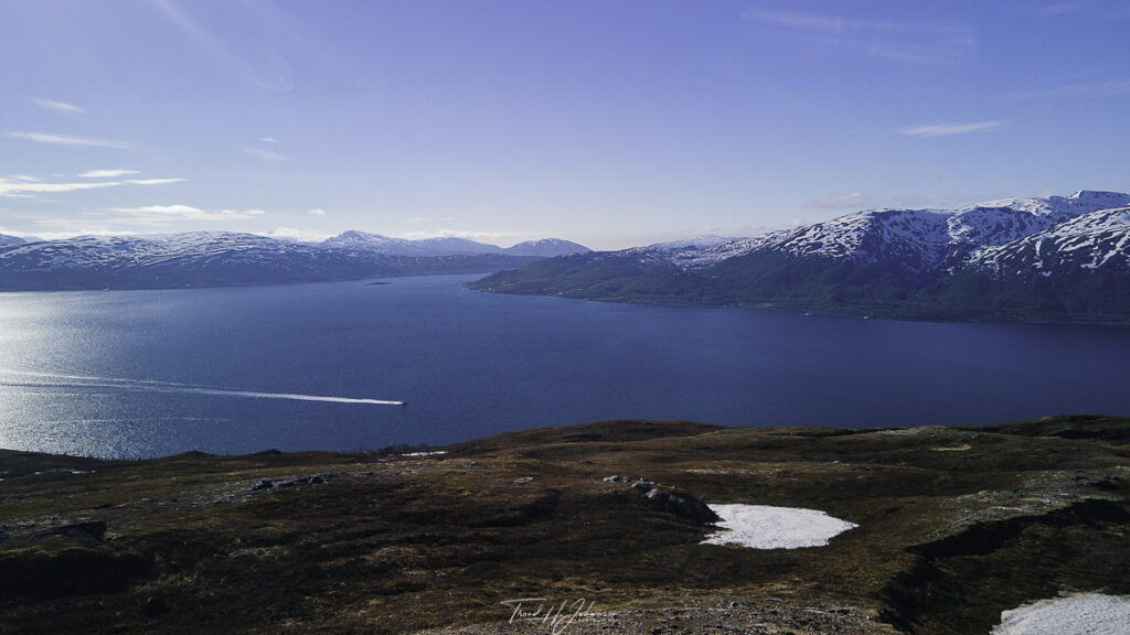
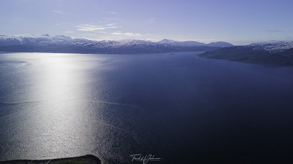
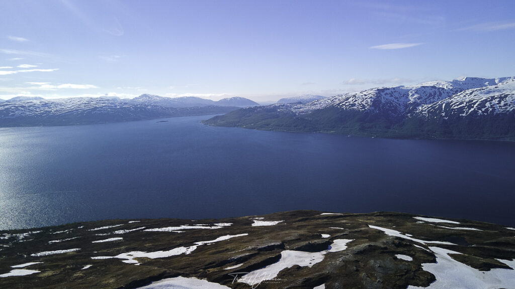
On June 5, 2021, I embarked on an Åsfjellet hiking drone photography adventure. Initially, I set out with my DJI Mavic Air 2 to capture the stunning vistas from this mountain. Consequently, I discovered that Åsfjellet—standing 340 meters above sea level—is the perfect blend of hiking challenge and breathtaking scenery. Moreover, from its summit, you can see Tromsø, Kvaløya, Ringvassøya, Reinøya, and Arnøya, making it an exceptional spot for panoramic drone photography.
Why Åsfjellet is Ideal for Drone Photography
Scenic Arctic Landscapes
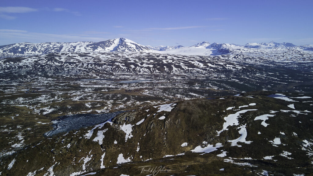
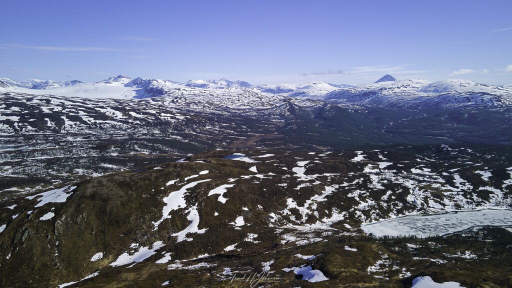
Firstly, Åsfjellet offers a remarkable Arctic landscape that combines lush forests with snow patches even in early summer. In addition, the dramatic contrast between vibrant greens and lingering snow creates a visual feast that is ideal for drone photography.
The Mavic Air 2 Advantage
Furthermore, the DJI Mavic Air 2 is perfect for such adventures because it is both lightweight and feature-rich. Notably, it weighs only about 570 grams, which makes it easy to carry during hikes. Additionally, its 48MP camera and 4K/60fps video capabilities ensure that every detail of the stunning scenery is captured beautifully.
Capturing the Perfect Shot: Tips and Techniques
Embracing the Weather Conditions
Subsequently, the sunny weather enhanced the overall experience by illuminating the landscape. However, even though the sun was shining, patches of snow still provided an intriguing contrast. Thus, this mix of elements created unique opportunities for dynamic drone photography.
Maximizing Drone Flight Time
Moreover, the generous 34-minute flight time of the Mavic Air 2 allowed me to experiment with multiple angles and compositions. As a result, I could capture a comprehensive range of aerial shots, thereby maximizing the potential of my drone photography session.
Best Spots for Åsfjellet Hiking Drone Photography
- Summit Viewpoint:
For example, the summit provides a 360-degree panorama that includes views of Tromsø and the surrounding islands. - Snow Patches:
Similarly, the contrast between the remaining snow and the green landscape adds depth and interest to your aerial shots. - Forest Trail:
In addition, capturing footage along the forest trail can yield cinematic sequences that highlight the natural beauty of the area.
Key Takeaways from the Experience
- Accessible Adventure:
In summary, Åsfjellet offers an easy-to-moderate hike with a rewarding view that enhances both the hiking and drone photography experience. - Drone-Friendly Environment:
Likewise, the open and varied landscape makes it an ideal location for capturing high-quality aerial footage. - Diverse Perspectives:
Overall, whether it is the forest, the summit, or the interplay of light and shadow, every angle provides a unique perspective that enriches the storytelling of your journey.
Final Thoughts
Ultimately, if you are passionate about hiking and drone photography, Åsfjellet should definitely be on your itinerary. By combining accessible trails with stunning panoramic views, this location offers endless opportunities to create memorable content. So, why not plan your own adventure and experience the magic of Åsfjellet firsthand?
Åsfjellet – Location: 69° 45.509535′ 0″ N 19° 13.708845′ 0″ E
Åsfjellet – 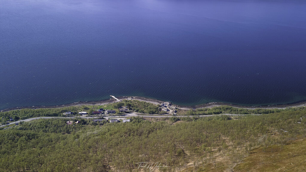
Åsfjellet – 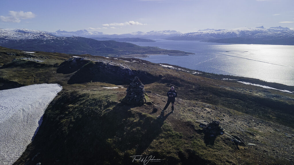
Åsfjellet – 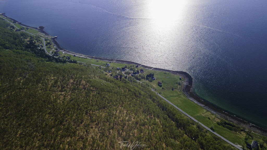
Åsfjellet – 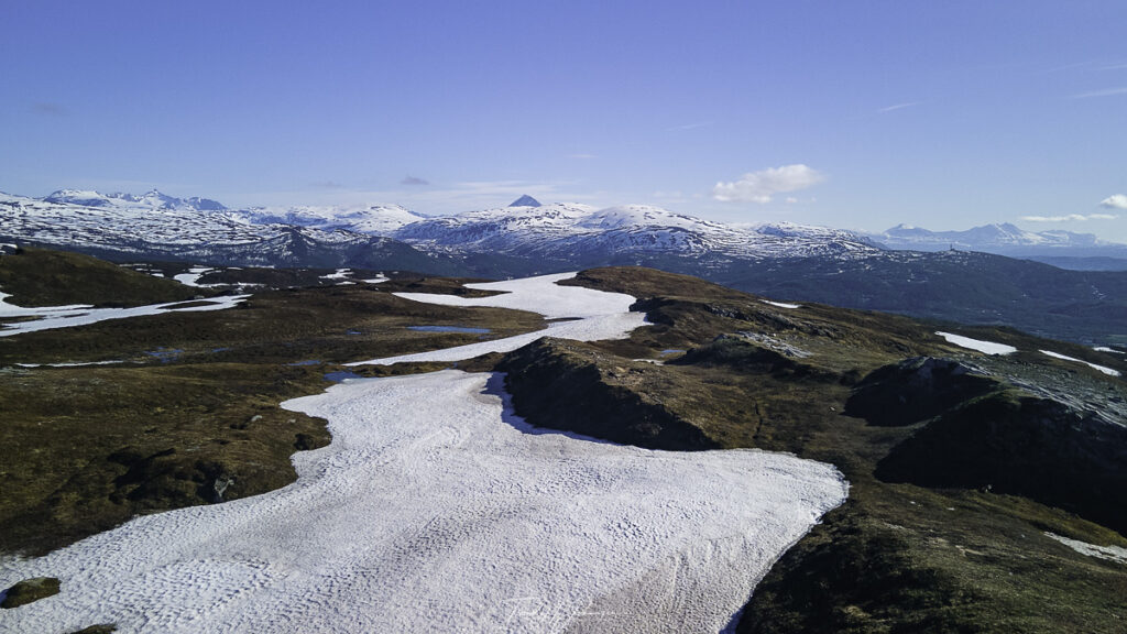
Åsfjellet – Location: 69° 45.63142′ 0″ N 19° 13.4055783′ 0″ E
Åsfjellet – Location: 69° 45.50948′ 0″ N 19° 13.7088917′ 0″ E

Åsfjellet – Location: 69° 45.719605′ 0″ N 19° 12.683945′ 0″ E
Åsfjellet – Location: 69° 45.631245′ 0″ N 19° 13.4054183′ 0″ E
Åsfjellet – Location: 69° 45.5094983′ 0″ N 19° 13.709095′ 0″ E
Åsfjellet – Location: 69° 45.6285067′ 0″ N 19° 13.3978′ 0″ E
Åsfjellet – 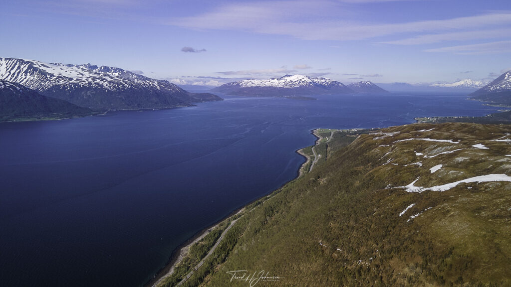
Åsfjellet – Location: 69° 45.71975′ 0″ N 19° 12.68415′ 0″ E
Åsfjellet – 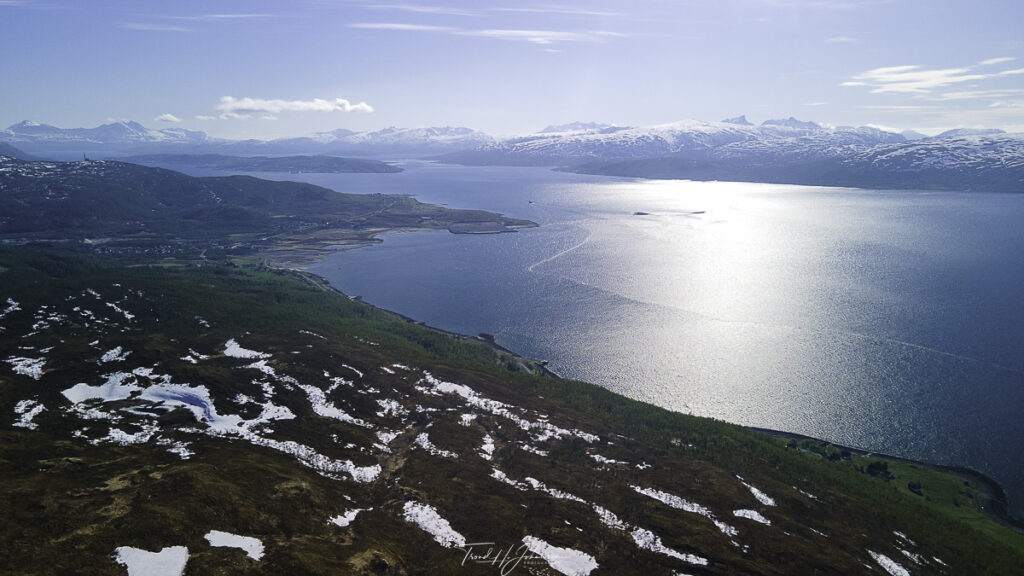
Åsfjellet – Location: 69° 45.628505′ 0″ N 19° 13.3980183′ 0″ E
Åsfjellet – Location: 69° 45.71964′ 0″ N 19° 12.6839917′ 0″ E
Åsfjellet –
Location: 69° 45.719605′ 0″ N 19° 12.683945′ 0″ E